 01View photo
River
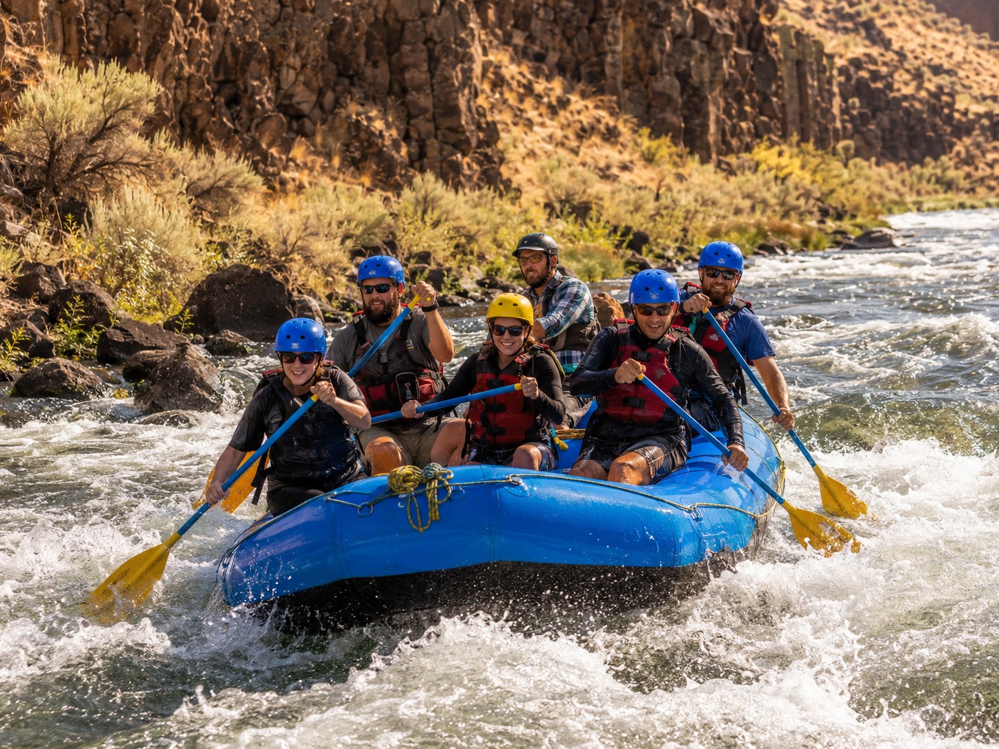
Raft the Lower Deschutes
Book a half- or full-day guided run through warm-water rapids and high-desert canyon country.
Maupin · Half or full day↗
North Central Oregon · Guest field guide
Big rivers. Old basalt. Empty horizons. A hand-picked guide to the best days out from Horseshoe House.
Find your adventure →Pick a direction
Out here, “local” means a beautiful road is part of the plan. Choose one anchor adventure, leave room to pull over, and get back before the stars take over.
01View photoRiver
Book a half- or full-day guided run through warm-water rapids and high-desert canyon country.
02View photoScenic
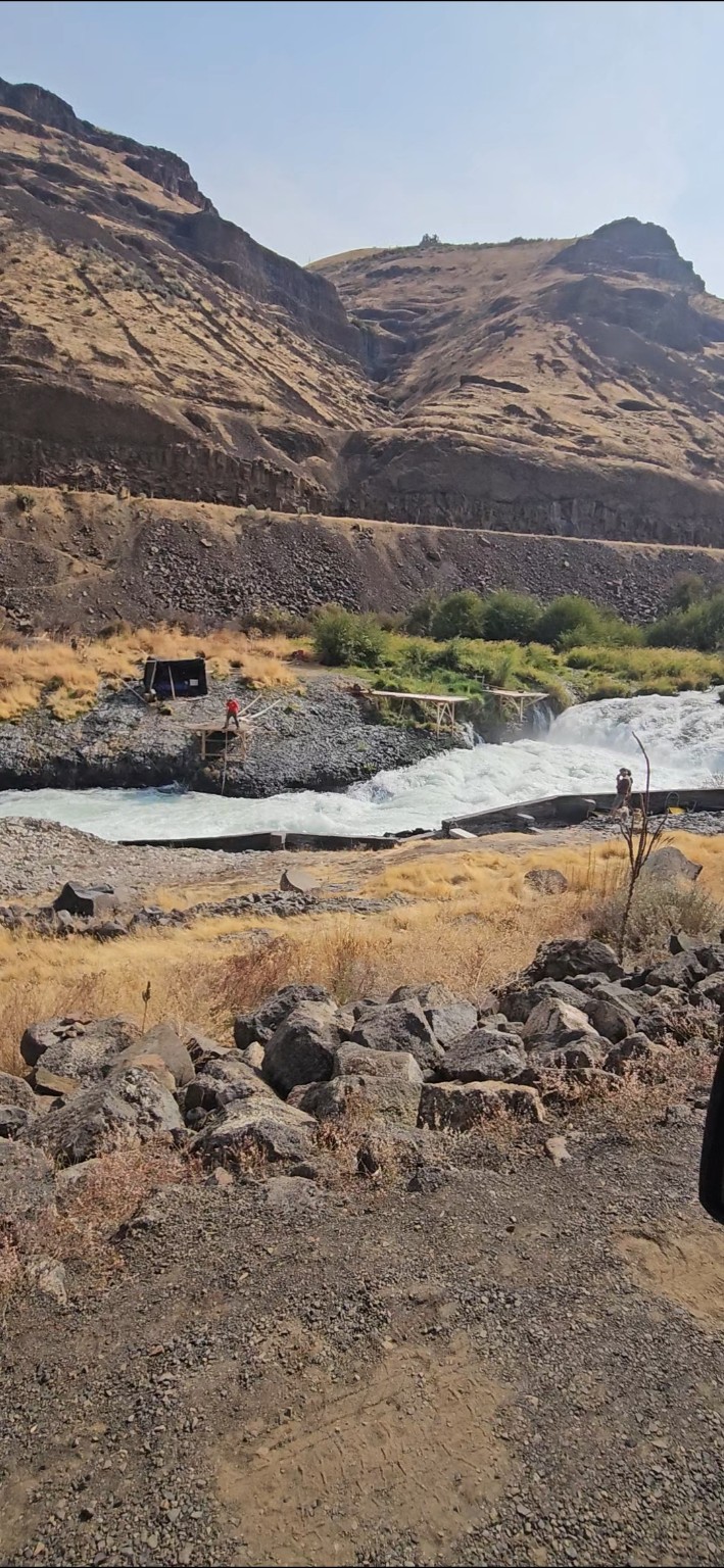
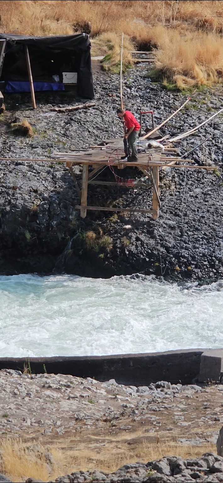
Watch the whole Deschutes squeeze through a basalt chute at a fishing place sacred to the Confederated Tribes of Warm Springs.
 03View photo
Hike
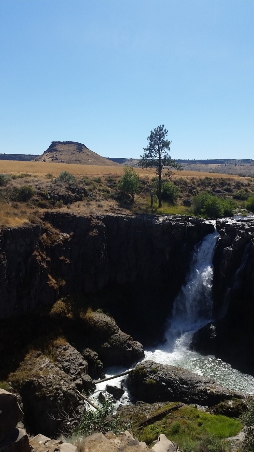
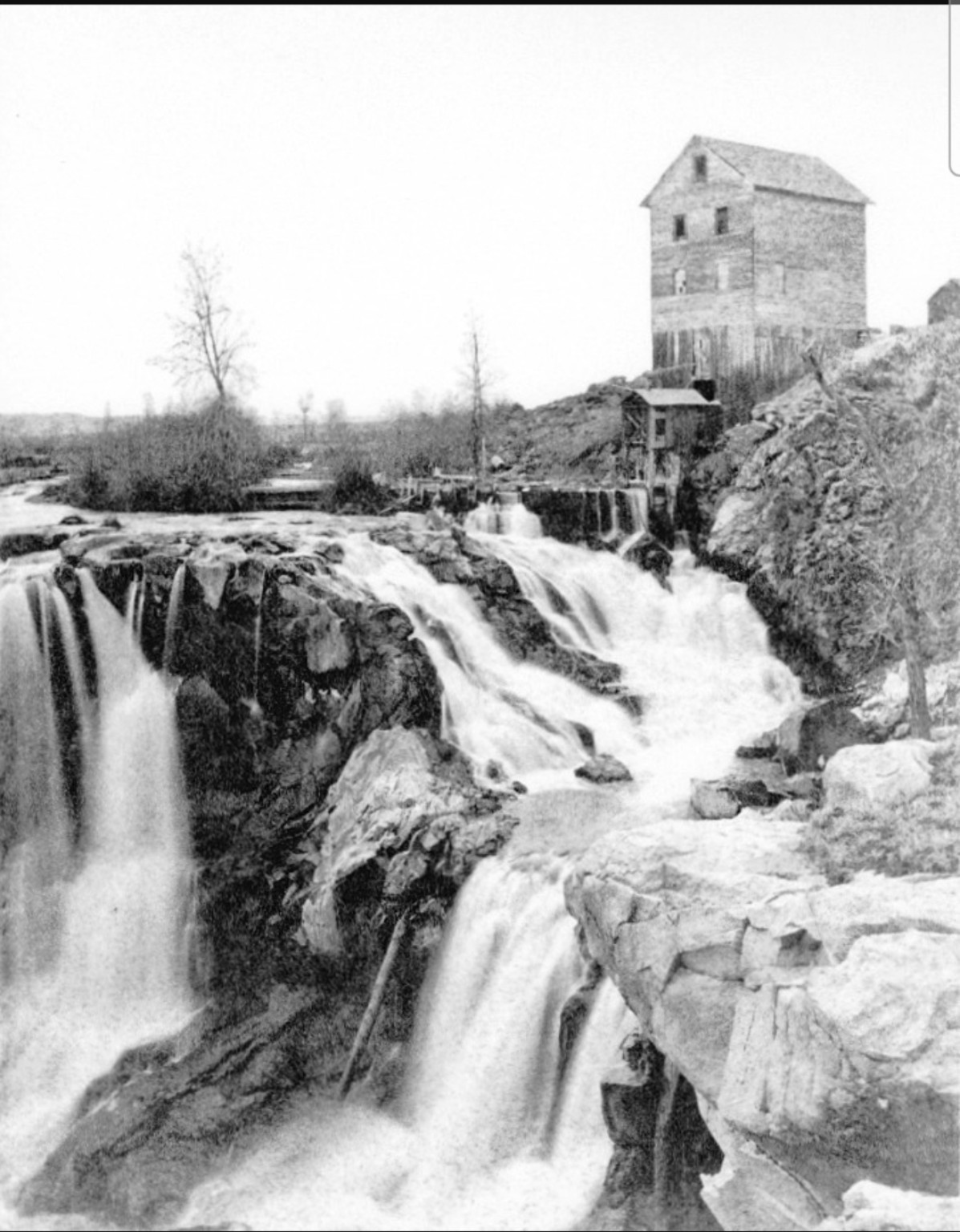
A short walk reaches the overlook; a steep, rocky trail descends toward the historic powerhouse ruins.
 04View photo
Night
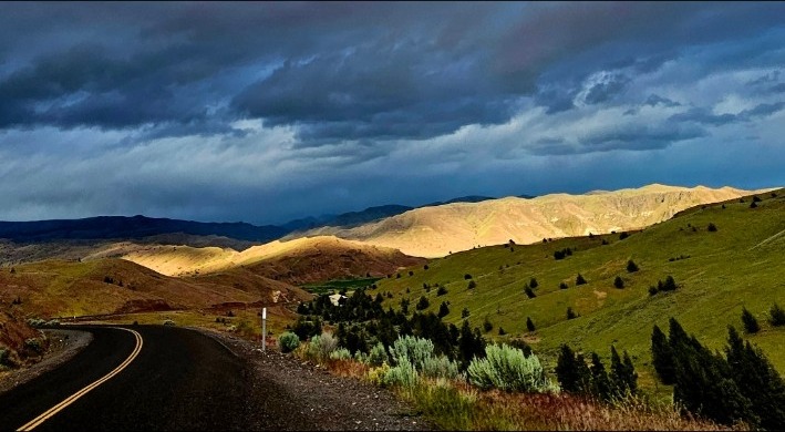
Walk the John Day River, scan the cliffs for bighorn sheep, then stay for certified dark-sky stargazing.
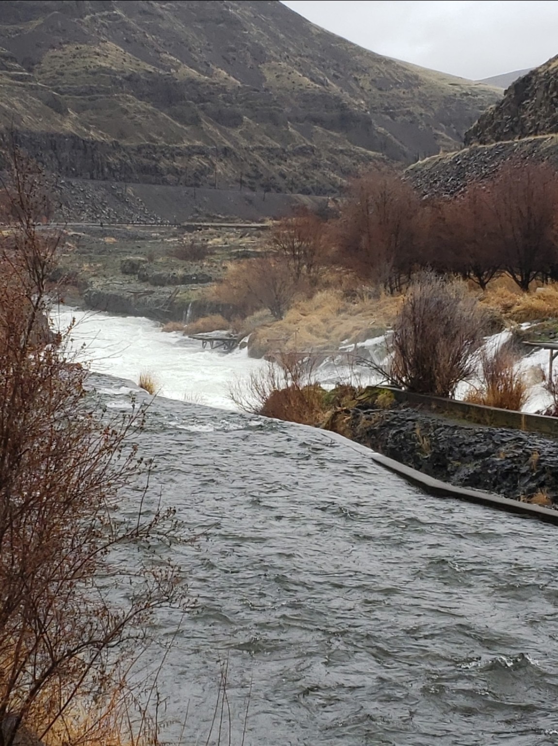 05View photo
Drive
A slow gravel-road ramble beside the river, with pullouts for wildlife, fishing access and canyon views.
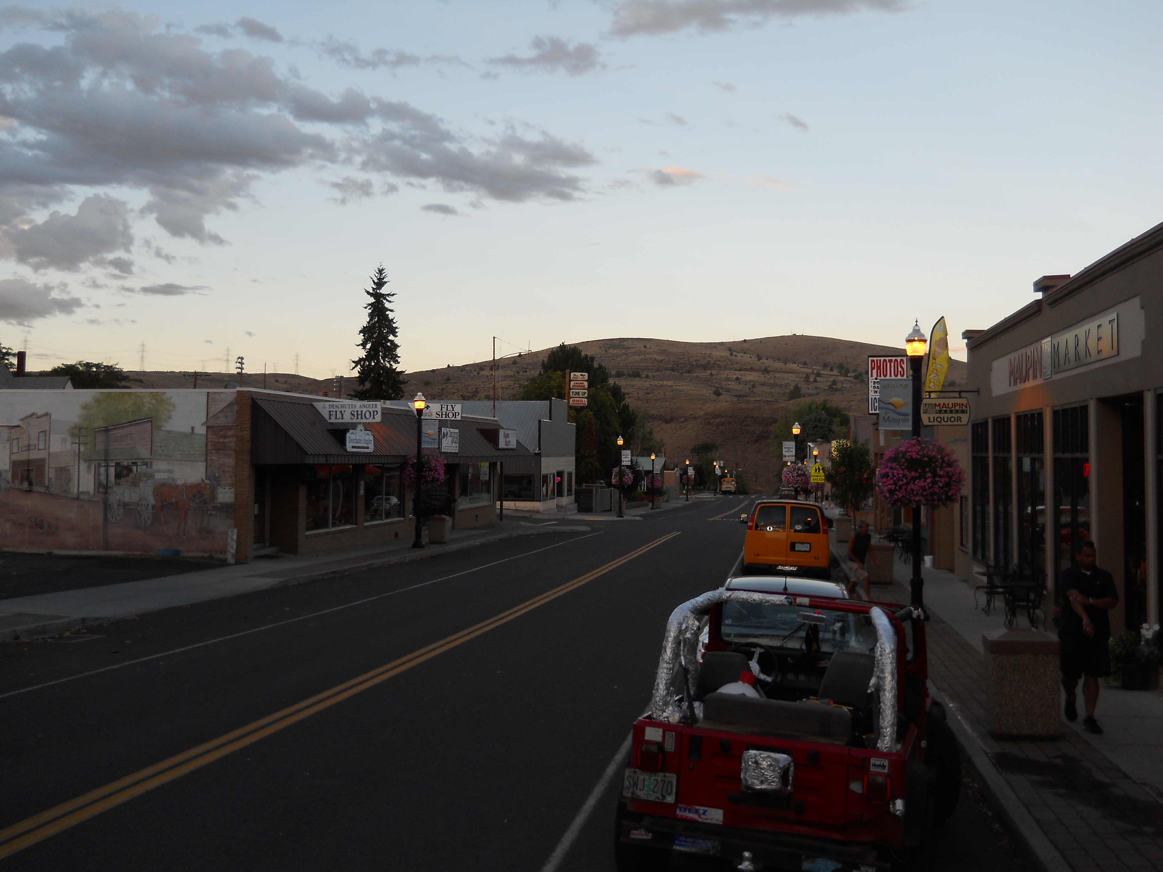 06View photo
Town
Refuel, browse town, watch boats from the riverfront and settle into the easy pace of Oregon's rafting town.
 07View photo
Renewables
Follow public roads through Sherman County's working wheat-and-wind landscape and see the scale of the Klondike and Biglow Canyon projects from a respectful distance.
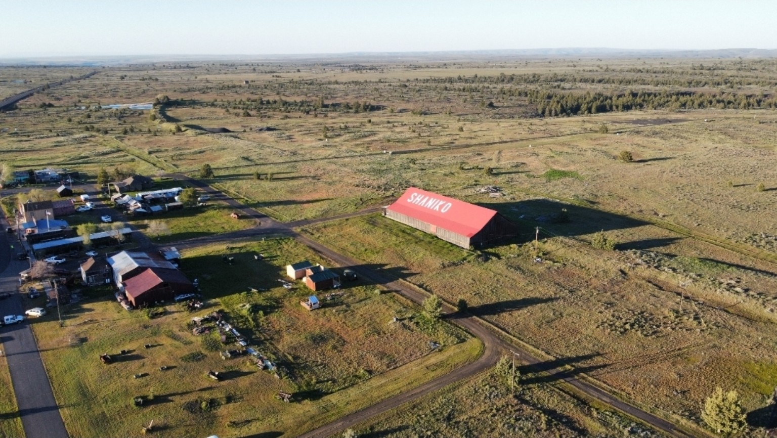 08View photo
History
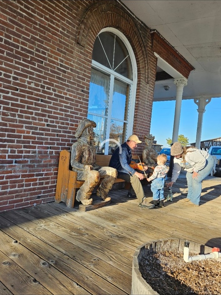
Wander wooden sidewalks, historic buildings and wagon-era relics in Oregon's best-known living ghost town.
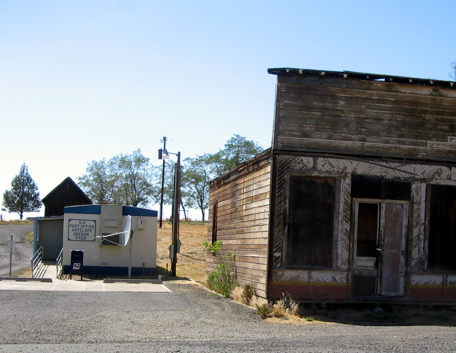 09View photo
History
Walk a tiny high-desert town with an outsized 1980s history, then return after sunset for Oregon's first International Dark Sky Community.
 010View photo
Rockhound
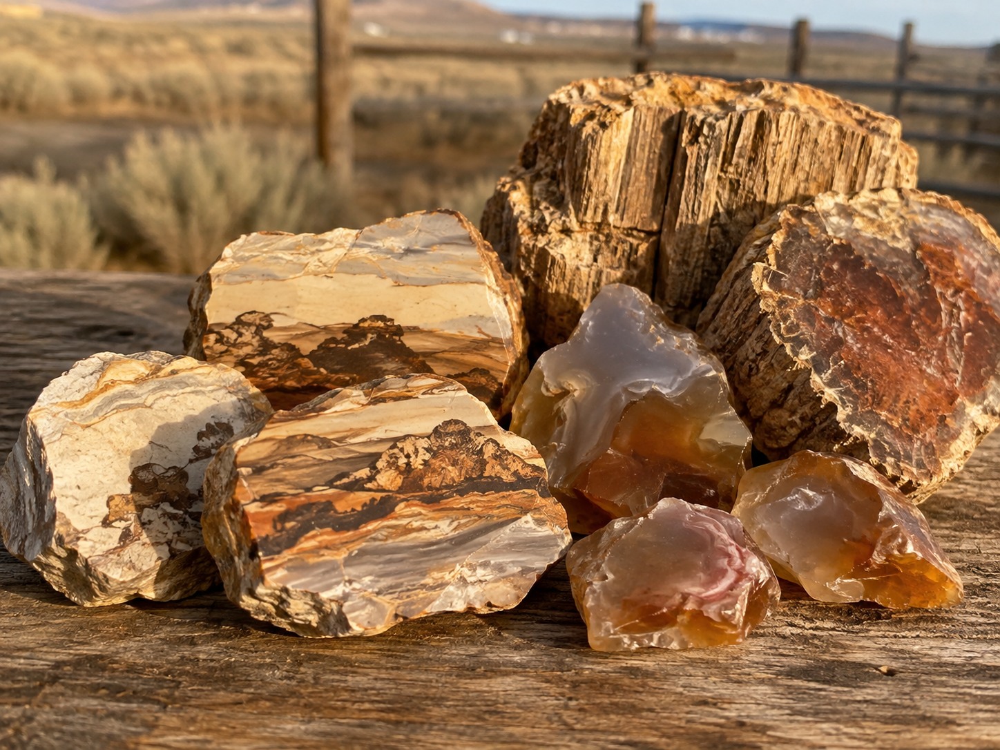
Browse Richardson's celebrated rock shop, then ask local clubs about permission-only Biggs jasper, river agate and petrified-wood field trips. Collect only where access is confirmed.
 011View photo
Fish & Hunt
Cast the John Day, Deschutes or Columbia; reserve private trout water at Justesen Ranches; or plan a licensed goose or upland-bird hunt on confirmed-access public or cooperative land.
Jasper · Agate · Petrified wood
North Central Oregon is legendary for Biggs picture jasper, river agate and fossil wood. Most productive collecting ground is private, so join an organized club outing or secure clear landowner permission before entering or collecting.
Make Richardson's a destination. The famous Richardson's Rock Ranch near Madras no longer allows public digging, but its rock shop still carries Priday thundereggs, agates, fossils and rough stone. Call ahead for current hours.
Rivers · Private trout water · Bird country
The John Day, Deschutes and Columbia are all within roughly an hour's drive, with opportunities that change by river and season. Nearby Justesen Ranches offers reservation-only, catch-and-release fly fishing on private trout lakes.
For bird hunters: nearby BLM and cooperative-access country can offer goose and upland-game opportunities. Confirm the exact parcel, legal access route, season, license and any fire or temporary closure before leaving the ranch.
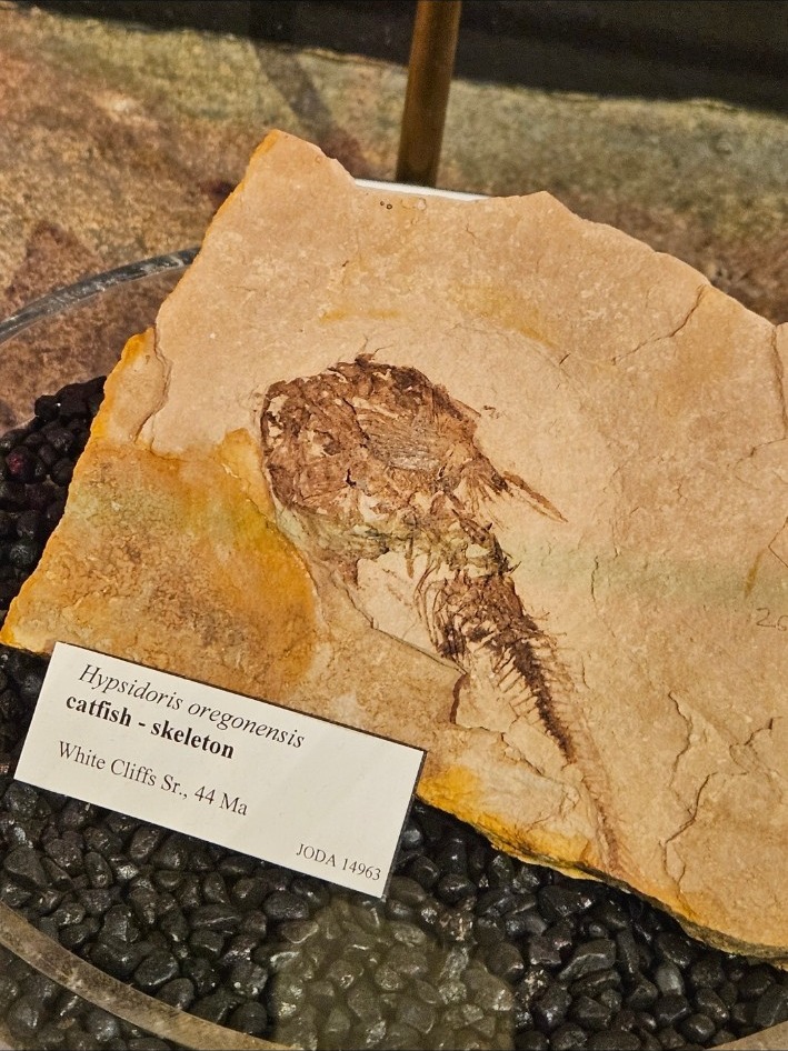
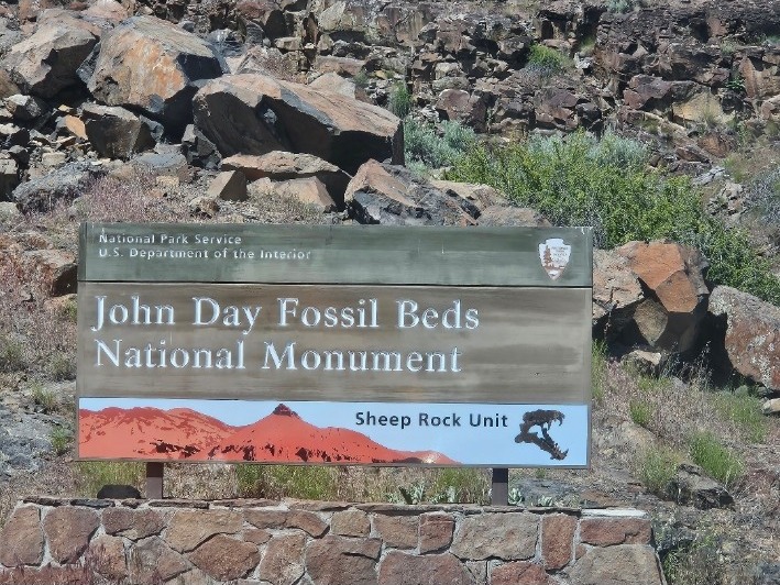
Deep time · Three park units
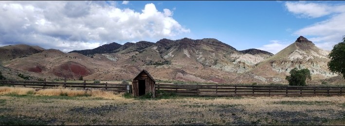
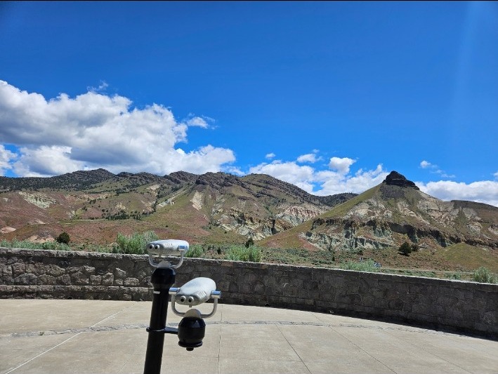
Millions of years of climate, forests and vanished animals are written into these painted layers.
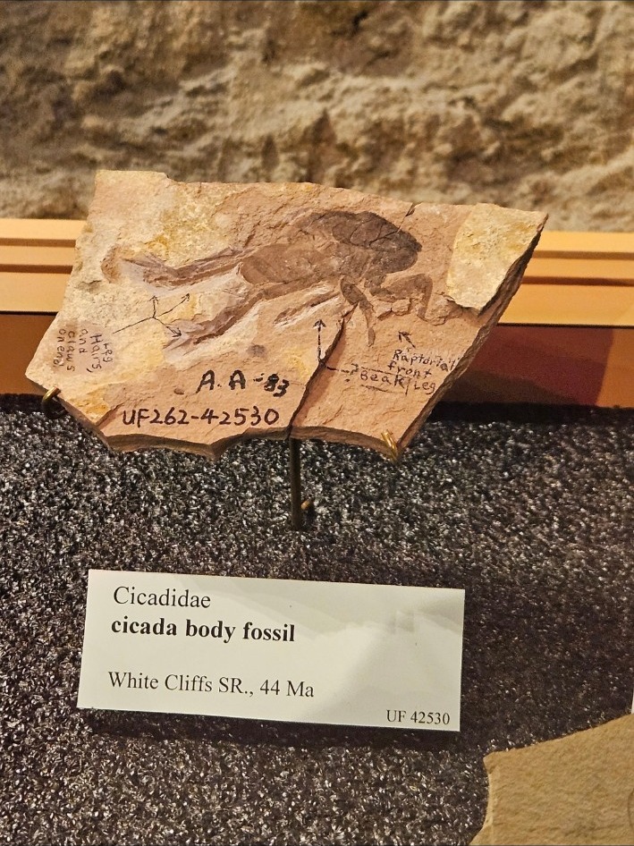
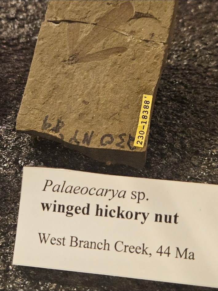
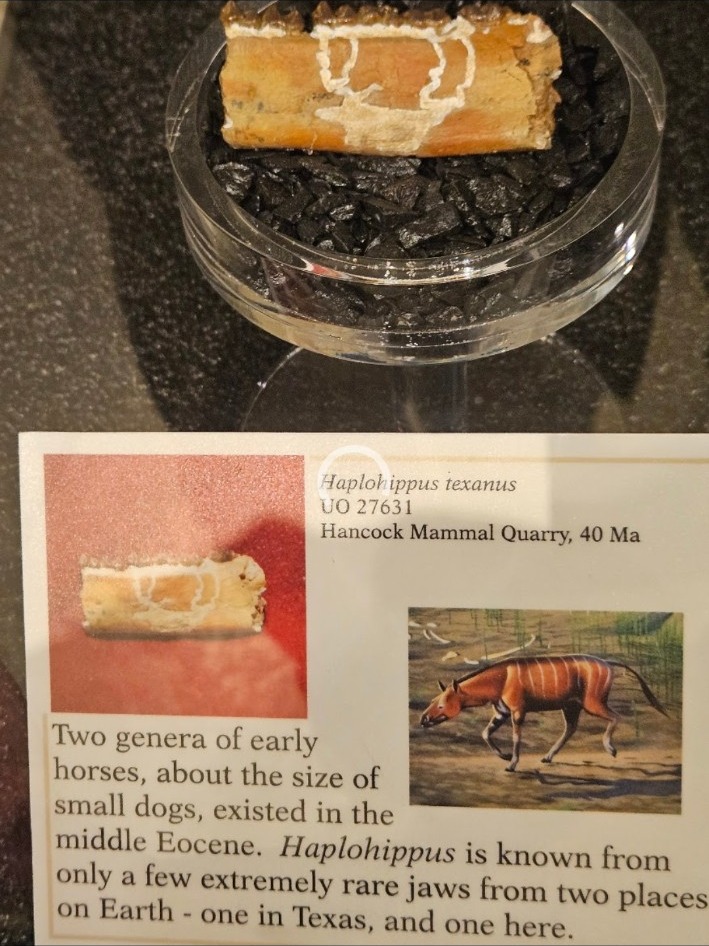
Start at the Thomas Condon Paleontology Center, see hundreds of fossils, then walk among green-blue volcanic ash layers.
Red, gold and black fossil soils shift with moisture and late-afternoon light. Stay on marked trails and boardwalks.
The oldest exposed layers in the monument preserve a subtropical world beneath towering ancient mudflows.
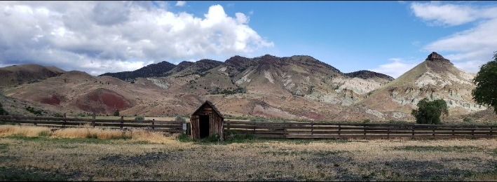
Protect deep time
Collecting, digging for or disturbing fossils and other natural items is prohibited throughout the national monument. The exhibits let you study the real specimens up close.
Plan with the National Park Service ↗Plan one or two units—not all three. The units are widely separated on winding rural roads. Download directions before leaving, carry water and food, and check current visitor-center hours.
Established 1878 · Sherman County
A working wheat-country town where Highway 97 meets quiet streets, weathered landmarks and the long view across Oregon's high plateau.
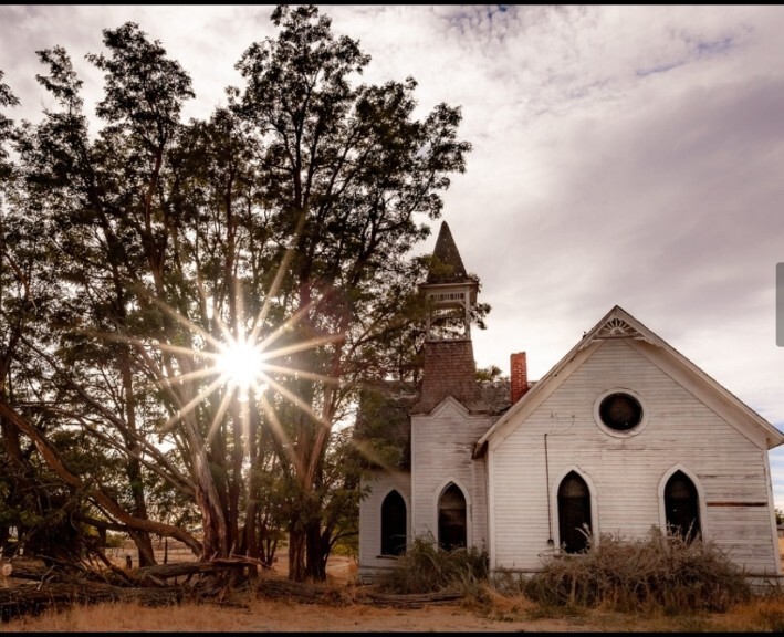
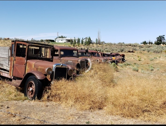
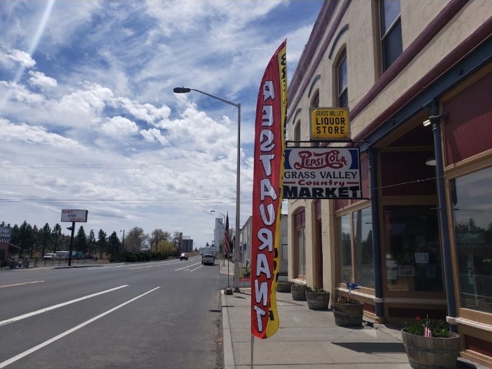
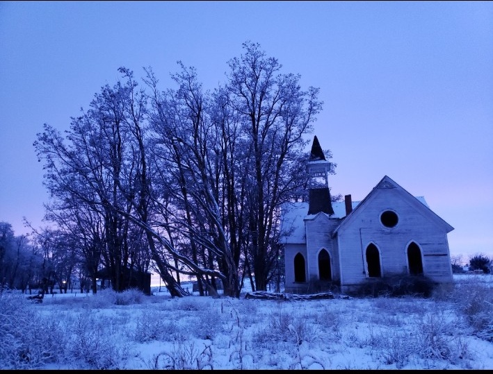
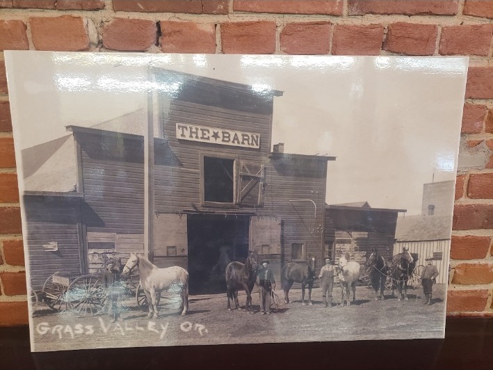
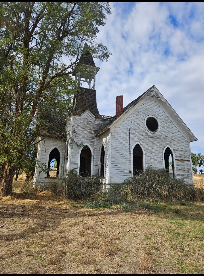
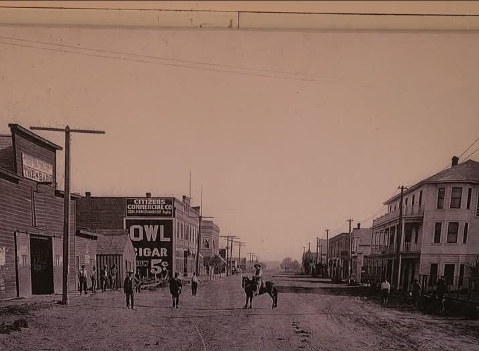
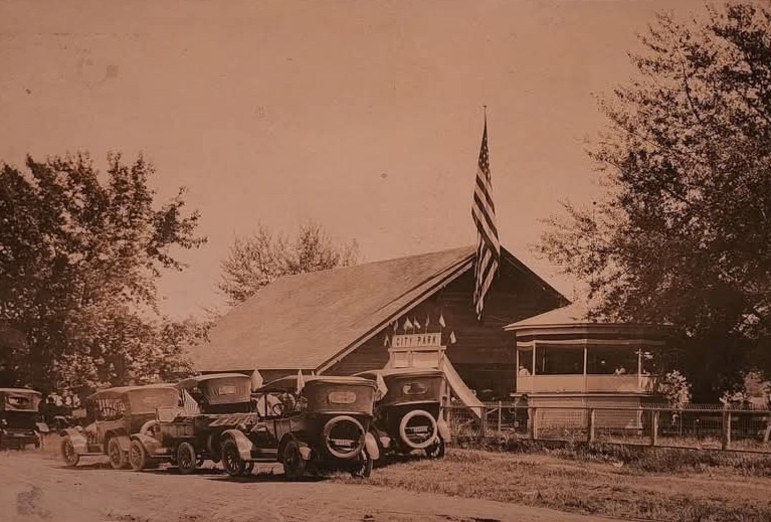
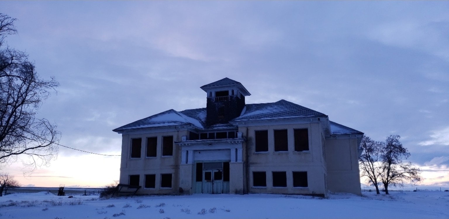
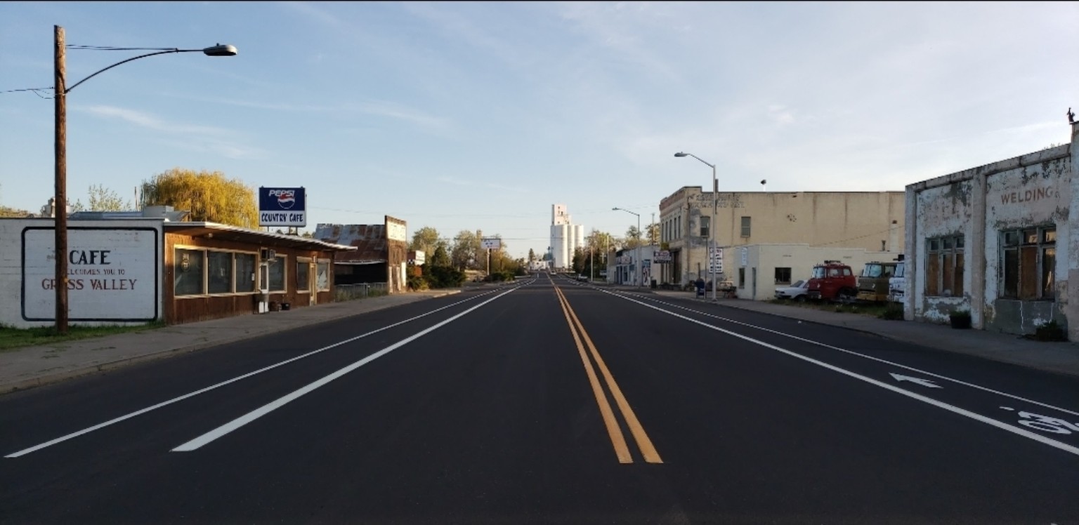
Make it a slow stop. Walk the main street, notice the old agricultural architecture, refuel locally and treat weathered buildings and vehicle collections as private property unless clearly marked otherwise.
Use it as a crossroads. Grass Valley sits between the Deschutes and John Day country, with Highway 216 dropping toward Sherars Falls through Buck Hollow.
Explore Grass Valley ↗Basalt gorge · State park
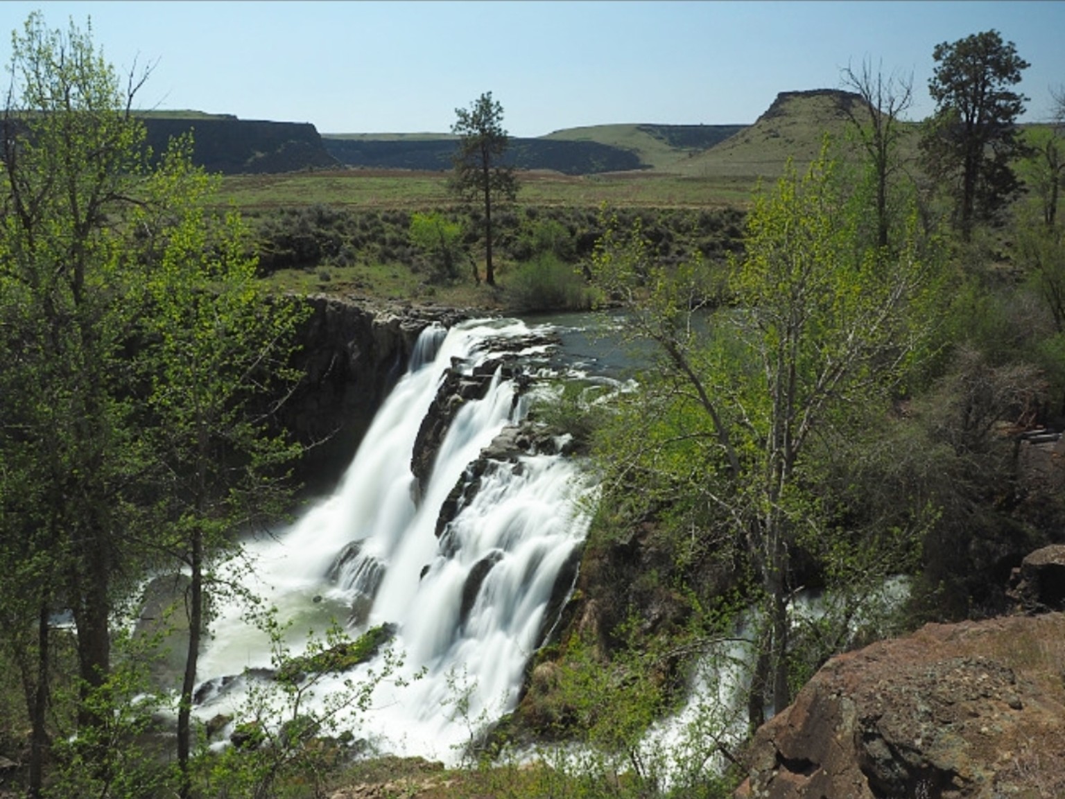
A short walk opens onto a powerful two-tier waterfall framed by wheat country, lone pines and the broad Tygh Valley sky.
Start at the overlook. The upper viewpoint delivers the grand view with very little walking.
Watch your footing. Trails toward the old powerhouse are steep, rocky and exposed.
The Deschutes narrows · Sacred fishing ground
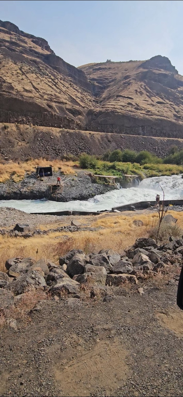
Here the Lower Deschutes gathers its force and plunges through a basalt chute. For thousands of years, this has been an important fishing place for the Confederated Tribes of Warm Springs.
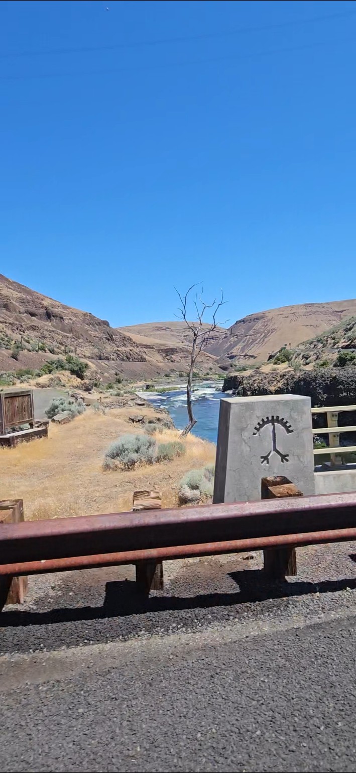
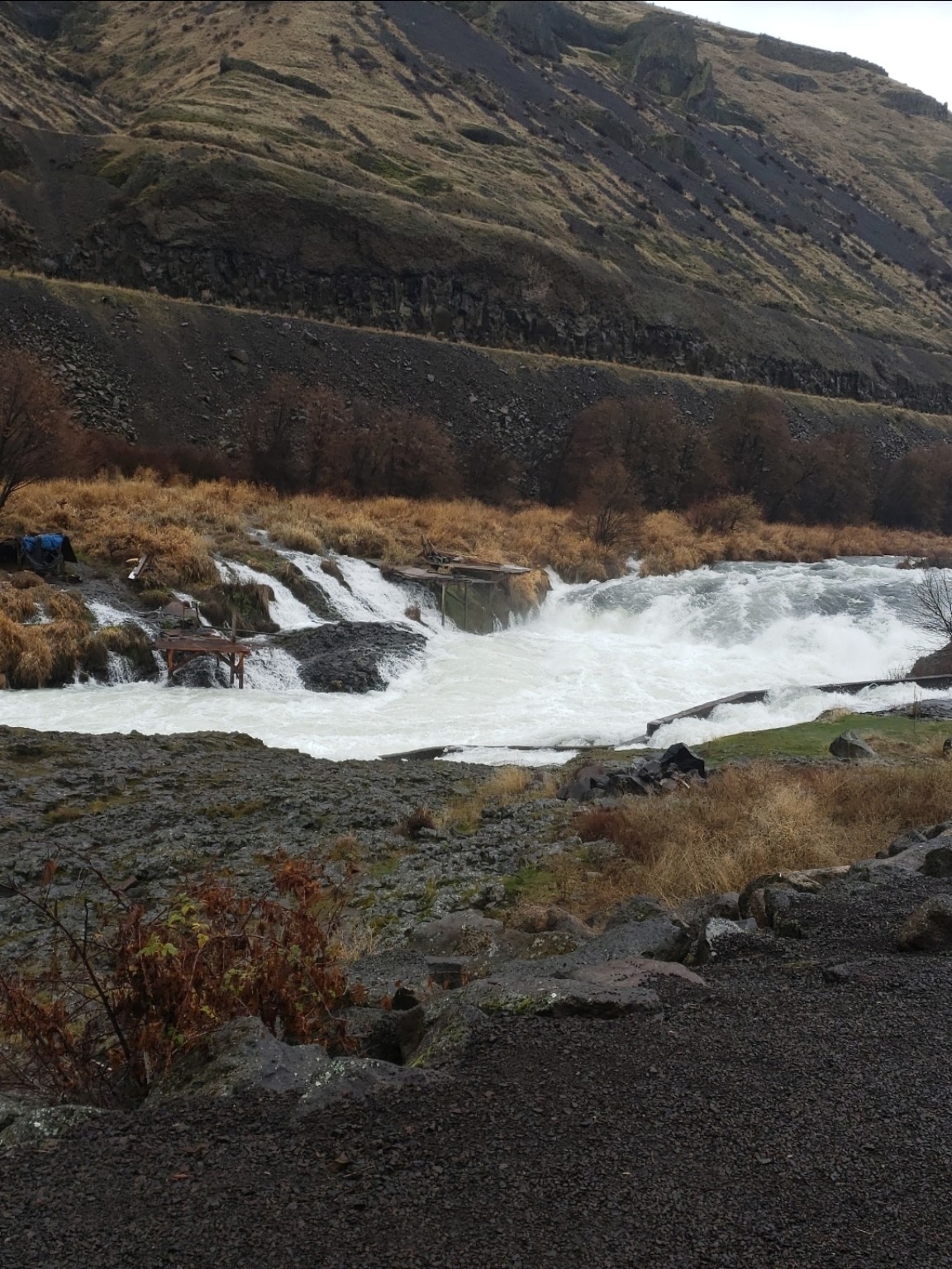
The overlook is a short stop, but the sound and scale deserve time.
They are working cultural spaces, not public viewpoints. Observe from a respectful distance.
The falls and currents are deadly. Never enter the river or climb onto structures.
Living ghost town · US 97
Once called the “Wool Capital of the World,” this tiny high-desert town still wears its boom years in weathered wood, broad streets and the grand old hotel.
Plan your stop ↗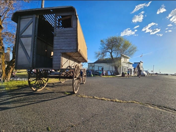
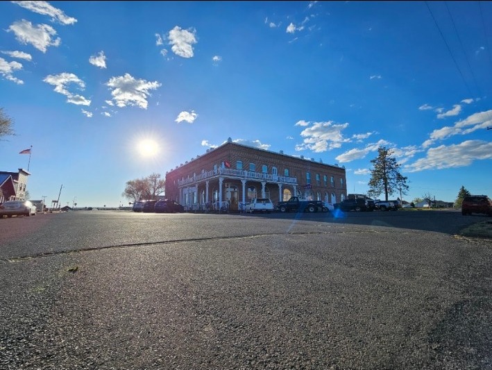
Look for the hotel, jail, schoolhouse, livery barn and wool warehouse.
Early or late light turns the old wood, brick and sage country gold.
Shops and attractions can be seasonal. Enjoy the streets even when doors are closed.
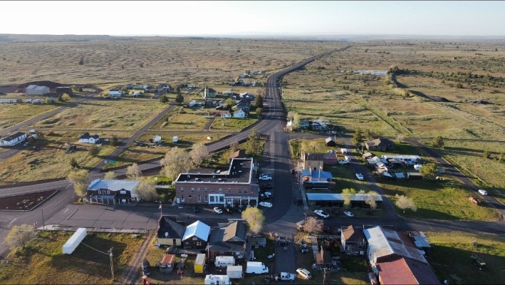
Historic town · Dark-sky community
A quiet town with one of Oregon's most extraordinary modern histories—and a night sky now protected for the future.
Followers of Bhagwan Shree Rajneesh established Rajneeshpuram on the nearby Big Muddy Ranch. As members moved into Antelope, they gained political control of the small town, took seats on its council and changed its name to Rajneesh. The wider movement later became notorious for crimes including the 1984 salmonella attack in The Dalles—the largest bioterror attack in U.S. history. After the movement collapsed in 1985, residents restored the name Antelope.
University of Oregon history ↗Antelope earned the designation for protecting its naturally dark nights through responsible outdoor lighting and community stewardship. Visit quietly, dim your lights and give your eyes time to adjust.
DarkSky International ↗Host's pick
Maupin Main Street photo by The Ninjaneer, licensed CC BY-SA 3.0. Wind-turbine photo by Gary Halvorson, Oregon State Archives, via Sherman County. Antelope post-office photo by Ken Morton, via Wikimedia Commons, licensed CC BY 3.0.